Geographical Location
Beijing Municipality covers an area of 16,410.54 square kilometres (sq.km). Nestled on the north of the North China Plain, it borders Tianjin Municipality on the east and Hebei Province in all other directions. The Western Hills, west of Beijing, are branches of the Taihang Mountains while the Jundu Mountain, north of the city, is a part of the Yanshan Mountains. They intersect at Beijing's Guangou Valley, shaping a giant semi-circle curve opening to the southeast. This curve is called "Beijing Bay." All these tell us why Beijing has been acclaimed as a land of peace and prosperity since ancient times.
Topographic Features
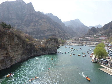
Beijing has a higher northwest part and a lower southeast part. It is surrounded by mountains to its west, north and northeast. To its southeast, the North China Plain gradually descends towards the Bohai Sea. Mountain areas occupy about 62 percent of the municipality's total area. The Dongling Mountain, 2,303 metres above sea level, is Beijing's highest mountain. Five major waterways from west to east flow through the municipality: the Juma, Yongding, Beiyun, Chaobai and Jiyun rivers.
Climate
The capital has a temperate, continental monsoonal climate, characterised by short spring and autumns, hot and rainy summers, and cold and dry winters. Its average annual temperature is 11 to 14 degrees Celsius. Around 75 percent of its annual precipitation occurs in summer, with the heaviest rainfall in July and August.
Time Zone
Beijing is located in Greenwich Mean Time Zone 8(GMT+8). It is eight hours earlier than London (GMT+0). The whole of China adopts "Beijing time" as its standard time.